Resource Hub
Welcome to the InfraMarker Resource Hub! Here you'll find a wealth of valuable resources to enhance your understanding and utilization of InfraMarker solutions. Whether you're a newcomer looking to explore our technology or a seasoned user seeking advanced insights, our collection of videos, blogs, spec sheets, case studies, and more is designed to meet your needs and build trust.
Articles
-
LEVERAGING INFORMATION TECHNOLOGY FOR DISASTER RECOVERY: A CASE STUDY OF RADIO FREQUENCY IDENTIFICATION (RFID) IMPLEMENTATION FOR FACILITY RETRIEVAL
The study explores RFID's potential for disaster recovery in hurricane-prone coastal areas.
-
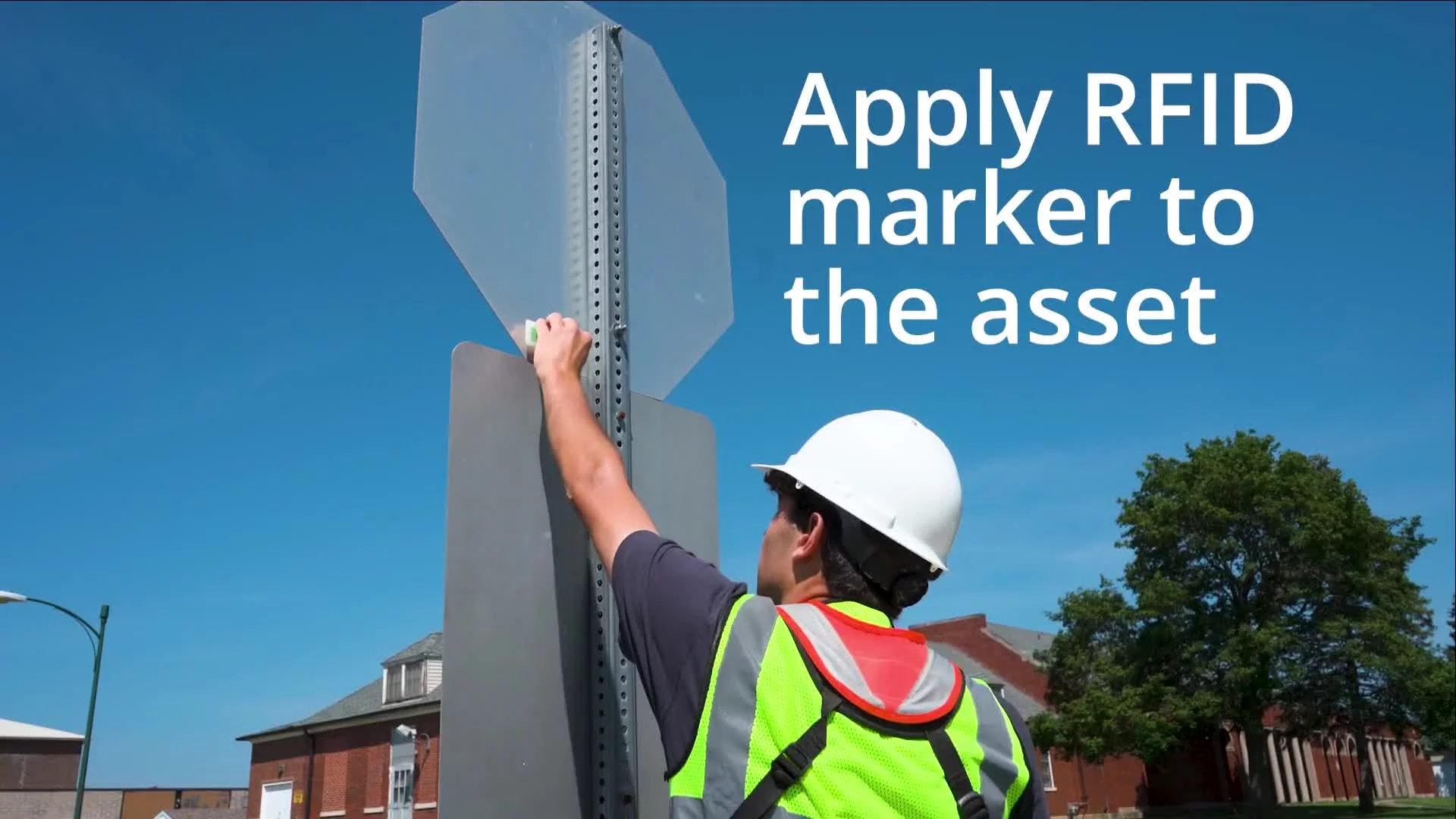
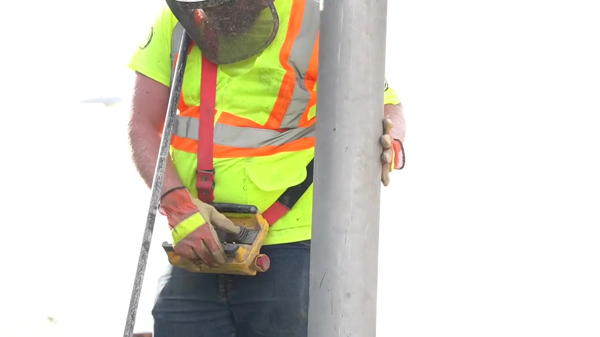
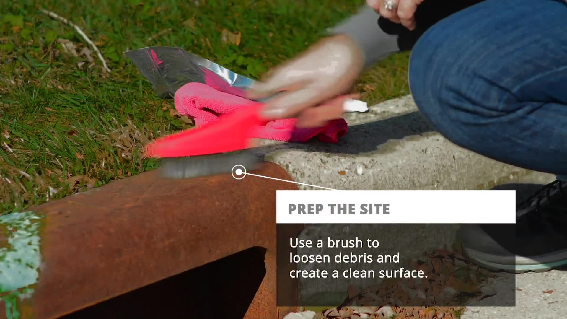
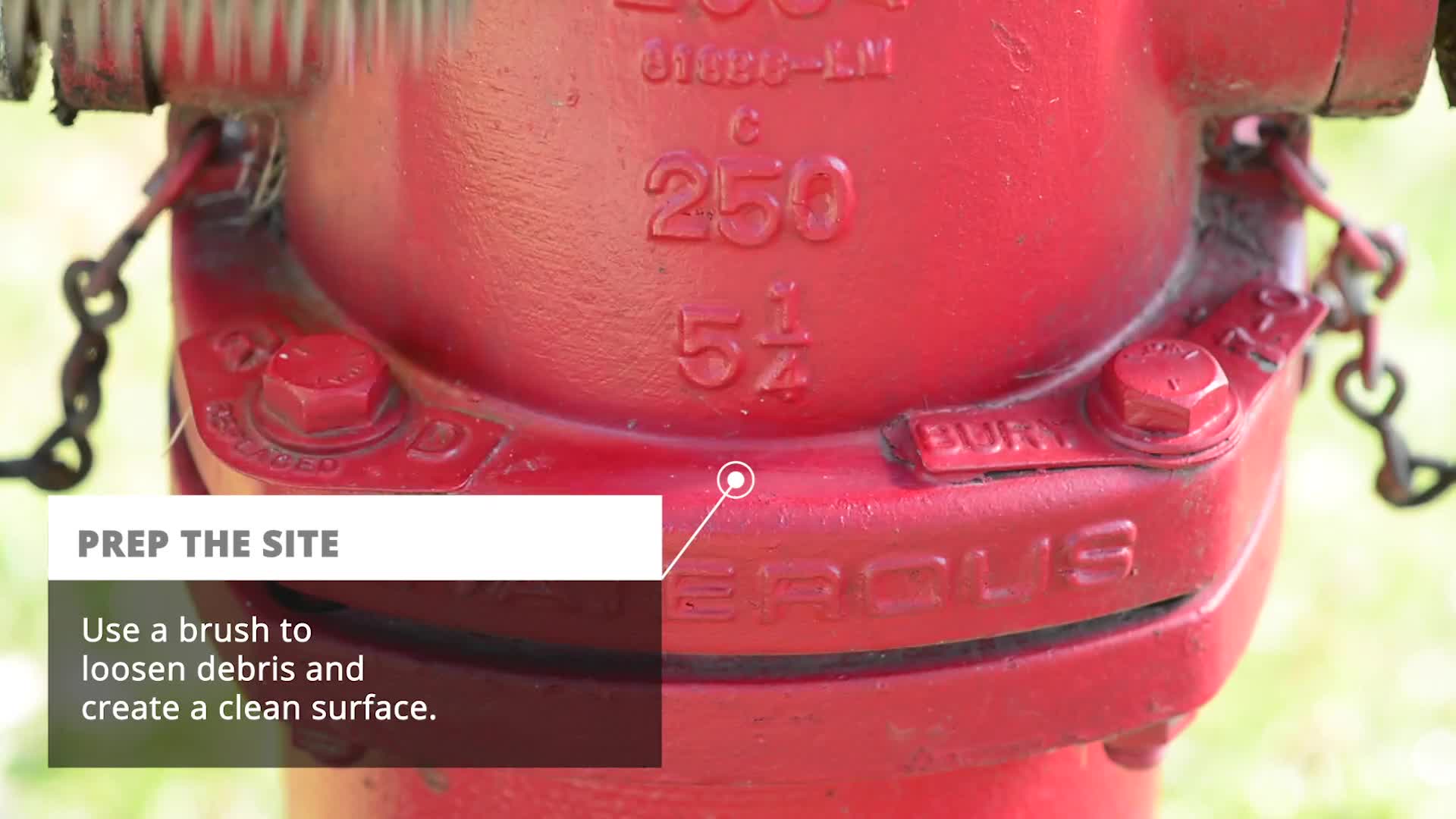
RFID – THE SMART WAY TO ENHANCE THE ACCURACY OF INFRASTRUCTURE ASSET TRACKING AND MONITORING
RFID links assets to GIS/asset management systems, providing IDs and locations. Mobile apps fetch asset details, like maintenance schedules and repair records, uploading them in real-time.
-
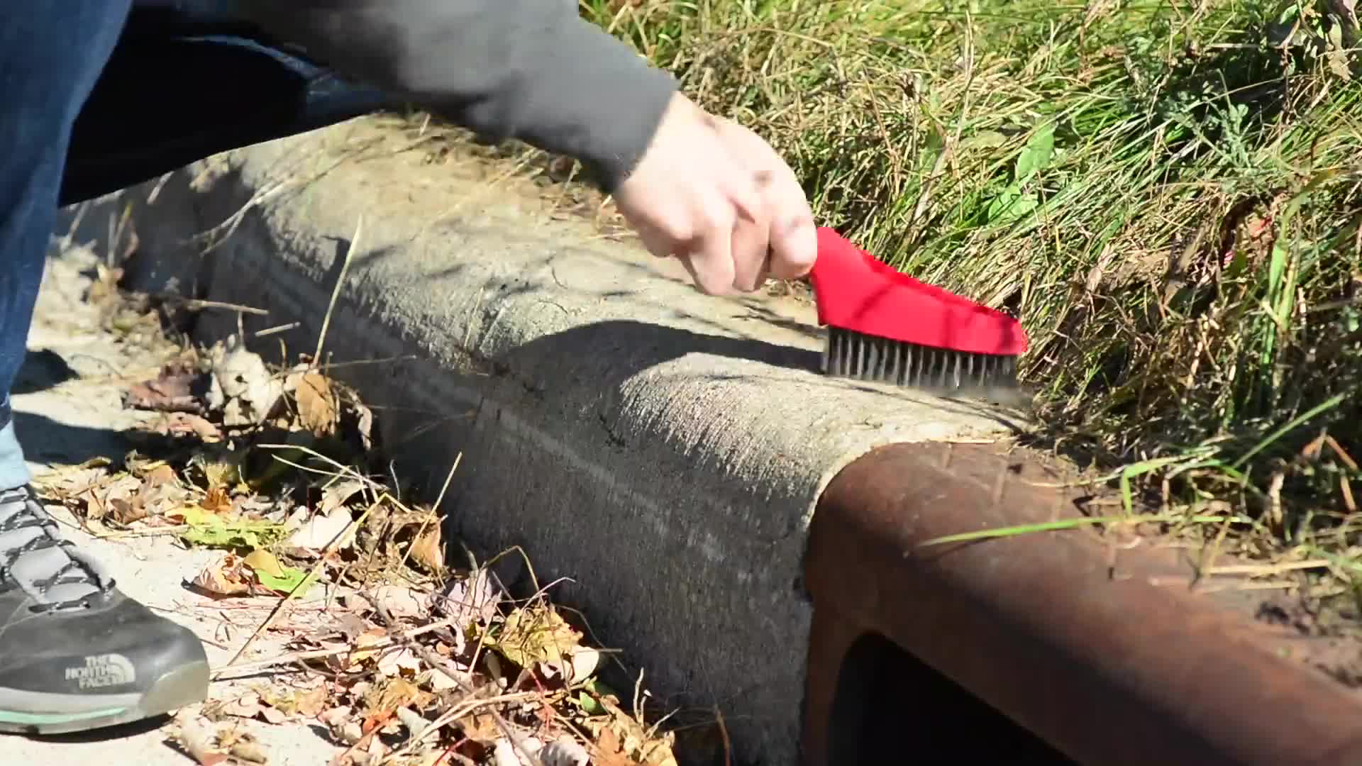
Stormwater Asset Management Enabled by RFID
RFID technology aids stormwater utilities in field inspections and data collection, reducing time, costs, and errors. Ongoing deployments offer benefits for managers and field staff.
-
Videos
This short video demonstrates the correct installation of the InfraMarker Polydome marker on concrete.
This short video demonstrates the correct installation of the InfraMarker Polydome marker on metal.
This short video demonstrates the correct installation of the InfraMarker MicroBox on a fire hydrant.
InfraMarker RFID connects any kind of infrastructure asset to GIS. Field inspection and maintenance is streamlined because RFID-marked assets are easy to locate, verify and update in GIS.
Blogs
More than 90% of organizations use cloud computing to run enterprise applications. That means that everything from hospitals and first responders to Fortune 500 companies and governments rely on the cloud. Soon, air traffic control and police departments will be cloud-based as well. Society won’t be able to function without the cloud
AEC is the acronym for Architecture, Engineering and Construction, which is a collection of services engaged in the planning and execution of all types of construction projects. It’s essentially the term for a deep and intricate collaboration between partners in order to bring any project to fruition.
We can’t worry about threats to our national infrastructure all the time, but there are people who make it their life’s work to identify and resolve national security infrastructure-related challenges. Recently, Berntsen had the opportunity to gather with this group of dedicated professionals for a collaborative conference centered on strengthening national security.
Before paleontologists began scouring indigenous lands for proof of evolution in the fossil record, Native Americans had long since incorporated these “new discoveries” into their cultures. Centuries before Europeans arrived, native inhabitants of the Americas understood that the land had once been teeming with massive creatures that ruled the earth, water and sky.
If you’ve taken a trip recently, you’ve probably noticed the construction – on roads, bridges, dams, airports, railways and other large projects – causing frustrating backups and bottlenecks. Unfortunately, this inconvenience is one of the costs for years of infrastructure neglect.
A recent article highlighting the 25 Technologies that have changed the world lists the usual blockbuster inventions, such as the Apple iPhone, Wi-Fi, AI, facial recognition, drones, DNA testing, social platforms, quantum computing and bitcoin. However, not all of these world-changing technologies are so famous. Who knew that Radio Frequency Identification (RFID) is a world-changing technology?
Radio Frequency Identification (RFID) has been around for a long time. The precursor technology to RFID was originally developed as a musical instrument by the Russian physicist Leon Theremin, patented in 1928. The Theremin produces music by manipulation of electromagnetic fields around two antennae to produce sound.
April is recognized by Congress and most Governors across the U.S. as National Safe Digging Month as shovels (and backhoes) hit the ground for a busy season. It’s well known that excavation is a dangerous business. Excavation strikes on public utility lines lead to more than 2,000 injuries and 400 deaths each year. The Common Ground Alliance (CGA) states that accidental utility strikes cost the U.S. at least $30 billion annually, based on self-reported data by stakeholders and state 811 call centers. And it looks like things are getting worse, not better.
For more than 50 years, Berntsen has worked alongside federal agencies to provide useful and quality products. From monuments that can be set in wetlands to RFID markers that integrate with Geographic Information Systems (GIS), federal agencies rely on Berntsen to deliver quality products that help them fulfill their missions.
The “Fourth Industrial Revolution” is well underway. Back in 2011, economist Klaus Schwab coined the term to refer to the rapid digitization and accessibility of technologies that spark a global shift in processes – in everything from how we communicate to how businesses and governments are managed.
It’s Geographic Information Systems (GIS) Day! Since 1999 when it was first celebrated as the grand finale to Geography Week, GIS has been quickly put to use by many professions, industries and researchers. Today, GIS is becoming indispensable for paleontology - with the help of RFID.
Berntsen International, a leading manufacturer of infrastructure marking products, announces that its InfraMarker RFID App now supports Near Field Communication (NFC) and is available on both the Apple App Store and Google Play.
Case Studies
Tracking and managing artifacts at archaeological excavations, through transport to research facilities, museum display and storage has been a persistent issue with no universal solution. This study examines the novel application of existing technologies to track, manage and share data from 347 dinosaur bone fossils from dig to display.
Accurate locating and identifying of underground assets are critical for damage prevention. This research project explores how three technologies – GIS, RFID, and magnetic marking – impact the speed and reliability of finding identifying, and managing underground utilities. The 7-year study finds that the multi-factor approach of connecting GIS with RFID/magnetic in-ground markers best improves underground utility management performance.
To help optimize water asset inspection and verification Sun Prairie, Wisconsin uses InfraMarker RFID Web Widget for ArcGIS Online.
SPW uses InfraMarker RFID Web Widget for ArcGIS Online to enhance the efficiency of inspection of their water sampling facilities.