Case Studies
Case Study Archive


Tracking and managing artifacts at archaeological excavations, through transport to research facilities, museum display and storage has been a persistent issue with no universal solution. This study examines the novel application of existing technologies to track, manage and share data from 347 dinosaur bone fossils from dig to display.
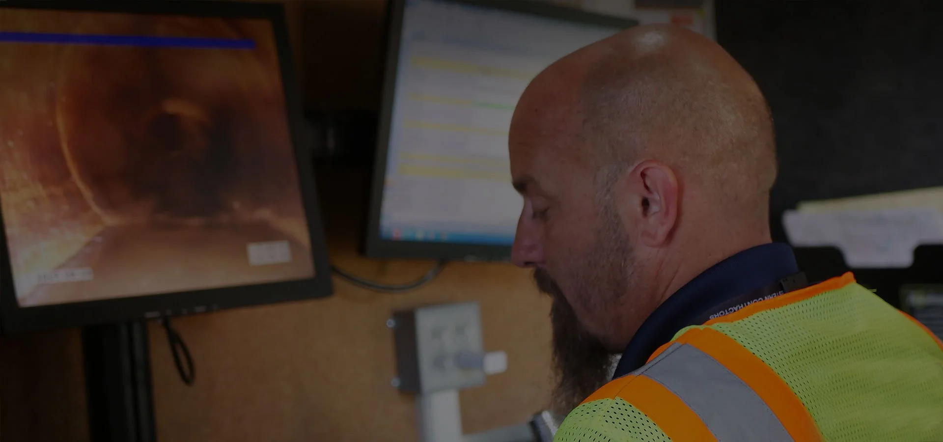
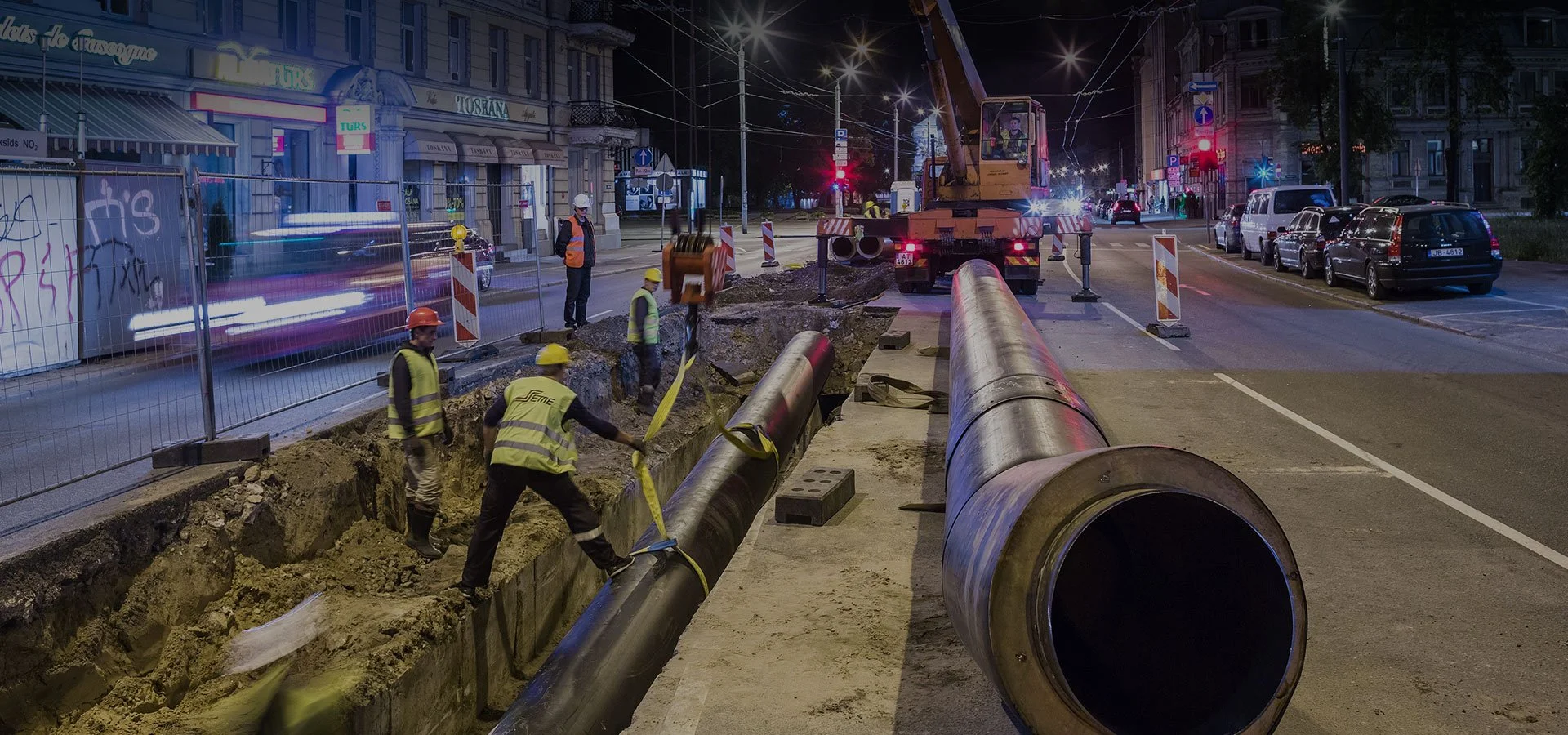
Accurate locating and identifying of underground assets are critical for damage prevention. This research project explores how three technologies – GIS, RFID, and magnetic marking – impact the speed and reliability of finding identifying, and managing underground utilities. The 7-year study finds that the multi-factor approach of connecting GIS with RFID/magnetic in-ground markers best improves underground utility management performance.
To help optimize water asset inspection and verification Sun Prairie, Wisconsin uses InfraMarker RFID Web Widget for ArcGIS Online.
SPW uses InfraMarker RFID Web Widget for ArcGIS Online to enhance the efficiency of inspection of their water sampling facilities.